Jonas Sullivan · 23 September 2026
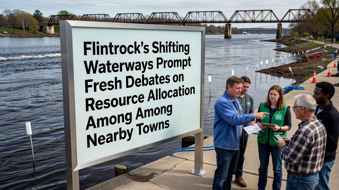
Flintrock's Shifting Waterways Prompt Fresh Debates on Resource Allocation Among Nearby Towns
Flintrock's waterways have undergone measurable changes in recent years and these shifts have led nearby towns to reopen discussions on how water resources should be divided, with meetings scheduled throughout September 2026 to address the evolving situation. Data collected by monitoring stations show that several channels have migrated eastward while others have narrowed, altering flow volumes that communities have relied upon for decades.
Geographic Context and Recent Changes
The region around Flintrock sits on a network of rivers and tributaries that feed into larger basins, and satellite imagery combined with ground surveys has documented a steady relocation of main channels since 2022. According to figures released by the US Geological Survey, average discharge rates in the primary Flintrock River dropped by 12 percent in the eastern branch while increasing 8 percent in a western tributary during the same period. These measurements come from continuous recording devices that track velocity, depth, and sediment load at multiple points.
Towns such as Riverton, Clearbrook, and Eastvale draw varying percentages of their municipal supply from these waterways, and the altered patterns have forced each community to reassess intake points and treatment capacity. Engineers note that sediment buildup now blocks older diversion structures in some locations, while new erosion threatens others that were previously stable.
Allocation Debates and Town Positions
Representatives from the affected towns gathered in August 2026 to review updated hydrological models, and they agreed to reconvene in September to negotiate revised sharing agreements. Clearbrook officials have pointed to increased flow in their sector as justification for maintaining current withdrawal limits, whereas Riverton has cited reduced volumes upstream as reason to seek compensatory allocations. Eastvale has raised concerns about downstream quality because higher sediment loads require additional filtration steps at its plant.
Studies compiled by regional water authorities indicate that total basin yield has remained relatively consistent, yet the geographic distribution has changed enough to disrupt established infrastructure. One analysis from a university research group in Canada found that similar channel migrations elsewhere led to 15 to 20 percent adjustments in municipal permits within five years of observed shifts.

Data Sources and Monitoring Efforts
Continuous monitoring since 2023 has produced datasets that track daily fluctuations in water levels, temperature, and dissolved oxygen across 14 stations. These records reveal seasonal peaks that now arrive earlier in the spring and recede faster in late summer, patterns that align with broader climatic trends documented by multiple agencies. The Environmental Protection Agency maintains an open database that towns reference when calculating allowable withdrawals, and that resource has become central to the current round of talks.
Local utilities have also begun sharing real-time sensor feeds so each participant can verify conditions independently. This approach reduces reliance on single-point measurements and gives negotiators a common factual baseline before discussing percentages or infrastructure upgrades.
Infrastructure and Economic Implications
Shifting channels have already prompted some towns to budget for new intake pipes and pump stations, with Riverton estimating costs in the low millions for relocation work. Clearbrook has explored dredging options to restore capacity at existing sites, while Eastvale examines whether expanded treatment facilities can offset quality changes. These capital projects intersect with allocation talks because funding formulas often tie state grants to demonstrated need and shared agreements.
Businesses dependent on steady water supply, including agricultural operations and light manufacturing, have requested updates on long-term availability. Trade groups representing these sectors have submitted written statements to the September meetings outlining projected impacts if current volumes cannot be guaranteed.
Conclusion
Flintrock's waterway changes continue to drive coordinated responses among neighboring communities, and the September 2026 sessions will determine whether updated allocation frameworks can accommodate the documented shifts. Monitoring programs and inter-town data exchanges provide the factual foundation for those decisions, while infrastructure planning moves forward in parallel. The outcome will shape resource distribution for the coming decade as the region adapts to its evolving hydrology.