Nils Becker · 7 October 2026
Community-Led Monitoring Programs Emerge Around Flintrock's Protected Zones
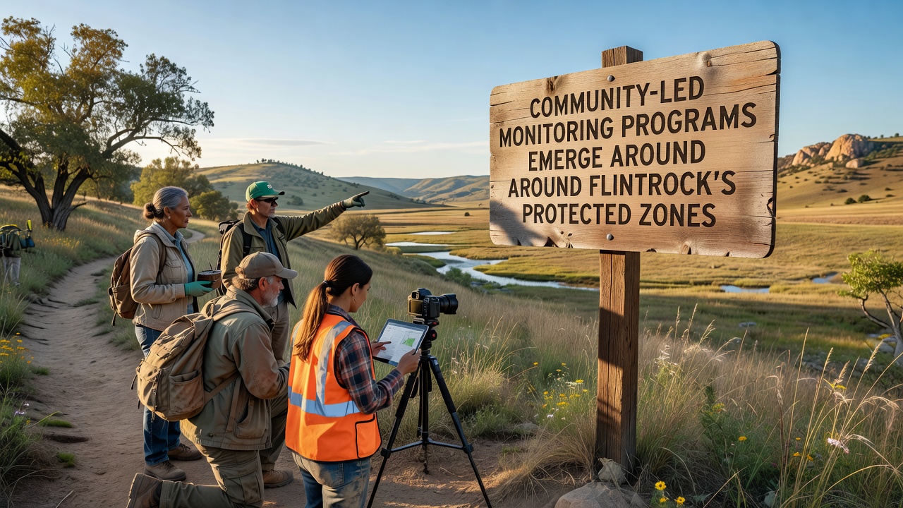
Community-led monitoring programs have taken shape around Flintrock's protected zones throughout 2026, and local residents along with regional organizations coordinate efforts to track environmental conditions in these areas. These initiatives focus on collecting data about wildlife populations, water quality, and vegetation changes while participants use standardized protocols that align with broader conservation frameworks. Flintrock's protected zones encompass several distinct geological formations and adjacent habitats that support diverse species, so monitoring activities span multiple sites to capture seasonal variations.
Background on the Protected Zones
Flintrock's protected zones received formal designation in prior years due to their unique geological features and ecological value, and authorities established boundaries that limit certain human activities to preserve these resources. Data from earlier surveys indicated notable biodiversity hotspots within the zones, including rare plant communities and migratory bird corridors, which prompted increased attention from nearby communities. Observers note that the zones border several townships, creating natural opportunities for residents to participate in ongoing observation efforts without requiring extensive travel.
By October 2026 several community groups had already completed initial training sessions on data collection methods, and they began deploying sensors and conducting regular field visits to establish baseline measurements. These programs operate independently yet maintain connections with regional agencies that provide technical support and review submitted datasets for consistency.
How Programs Operate in Practice
Participants in these monitoring efforts divide responsibilities across small teams, with some groups focusing on aquatic sampling while others track terrestrial species through camera traps and transect walks. Equipment includes portable water testing kits and digital recording devices that upload findings to shared platforms, allowing real-time collaboration among volunteers spread across different access points. Training materials emphasize accuracy and repeatability so that data gathered by community members meets standards comparable to those used in professional studies.
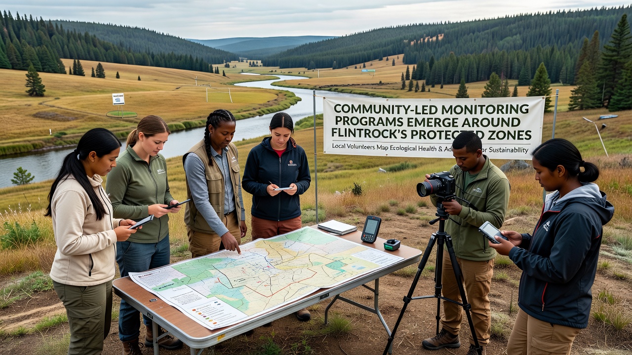
Coordination meetings occur monthly, and representatives from each team discuss findings while adjusting schedules to account for weather patterns or seasonal wildlife movements. One example involves a cluster of volunteers near the eastern boundary who documented shifts in amphibian breeding sites during spring surveys, and their records contributed to updated habitat maps maintained by local conservation offices. Such activities demonstrate how distributed efforts can generate continuous coverage across zones that would otherwise receive less frequent attention from centralized staff.
Data Collection and Regional Context in 2026
Figures compiled through October 2026 show that community programs have logged over several hundred observation hours across the protected zones, and this volume exceeds previous annual totals from agency-led efforts alone. Reports submitted during this period cover parameters such as pH levels in streams, counts of indicator species, and evidence of invasive plant presence, providing a layered view of conditions within the zones. A study conducted through the University of Queensland examined similar citizen science models and highlighted their role in supplementing official monitoring networks in comparable landscapes.
Programs also incorporate educational components where experienced volunteers mentor newcomers on species identification and equipment handling, which helps sustain participation over time. Local schools have begun integrating some monitoring data into classroom projects, and students analyze trends from previous months to understand seasonal cycles in the protected areas. This approach creates pathways for younger residents to engage directly with the zones while contributing to long-term records.
Connections to Broader Frameworks
Community monitoring aligns with guidelines from various government bodies that encourage public involvement in environmental stewardship, and participants reference protocols developed by agencies such as Environment and Climate Change Canada to ensure compatibility with national datasets. Integration with these frameworks allows local findings to feed into larger analyses without duplicating existing work. Another reference point comes from reports issued by the Australian Government Department of Climate Change, Energy, the Environment and Water, which document how community programs in remote regions have improved response times to emerging ecological pressures.
Challenges include maintaining consistent data quality across different volunteer groups and securing ongoing funding for equipment maintenance, yet organizers address these through regular calibration workshops and grant applications tied to documented outputs. Partnerships with nearby research institutions provide additional resources such as lab analysis for complex samples that exceed basic field capabilities.
Conclusion
Community-led monitoring programs around Flintrock's protected zones continue to expand their reach as of late 2026, and the structured collection of environmental data supports both local awareness and wider conservation planning. These efforts connect residents with the landscapes they border while generating records that complement professional oversight. As participation grows, the accumulated information offers clearer pictures of conditions within the zones and informs decisions about resource management across the region.