21 Oct 2026
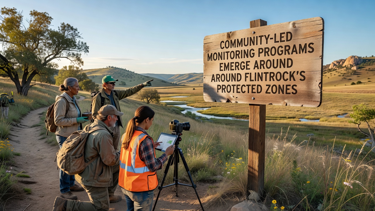
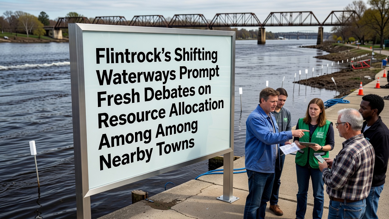
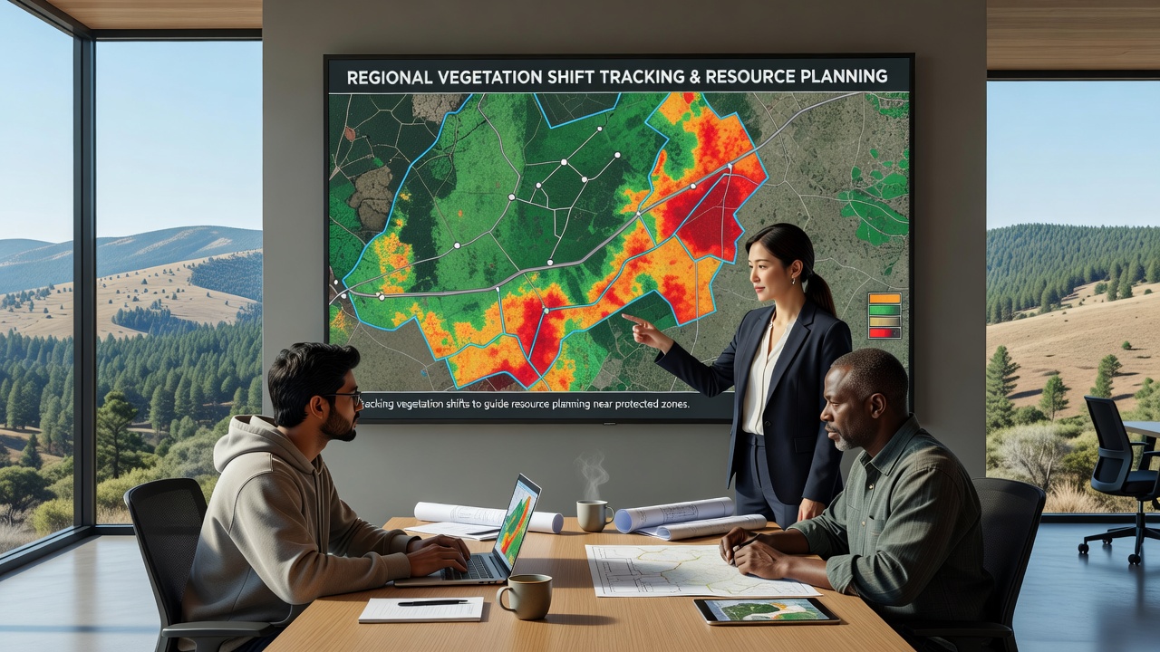
Regional Mapping Initiatives Track Vegetation Shifts to Guide Resource Planning Near Protected ZonesRegional mapping programs now combine satellite data, drone surveys, and ground observations to monitor how plant communities respond to changing …