flintrock.us.com
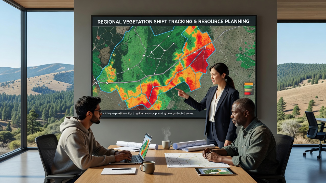
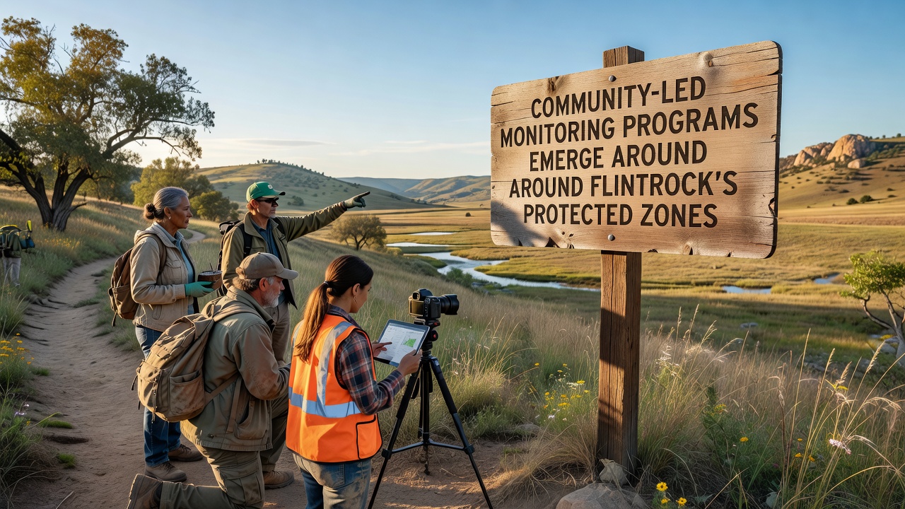
Regional Mapping Initiatives Track Vegetation Shifts to Guide Resource Planning Near Protected Zones

Articles

Regional Mapping Initiatives Track Vegetation Shifts to Guide Resource Planning Near Protected Zones

Regional mapping programs now combine satellite data, drone surveys, and ground observations to monitor how plant communities respond to changing climate conditions and …

Jonas Sullivan 21 October 2026

Our Editorial Approach

Articles here examine public records, interviews, and on-site observations to explain how decisions about land, history, and daily life unfold in the region. Each piece aims to connect events to the broader context of Flintrock without exaggeration or promotional language.

Key Coverage Areas

Reporting centers on three recurring themes: land use and conservation measures, cultural and historical documentation, and updates to local infrastructure that affect residents. These threads run through most stories published on the site.

  • Land and conservation decisions
  • Historical and cultural records
  • Infrastructure changes

Reading the Site

Visitors can browse recent articles or search by topic to locate specific coverage. The content is written for people who live near Flintrock or maintain an interest in its ongoing story, with an emphasis on factual presentation over opinion.

A longer index of Flintrock Community Reporting references is kept on the Professional Resources page.